

Buckingham Airfield and Heliports
History
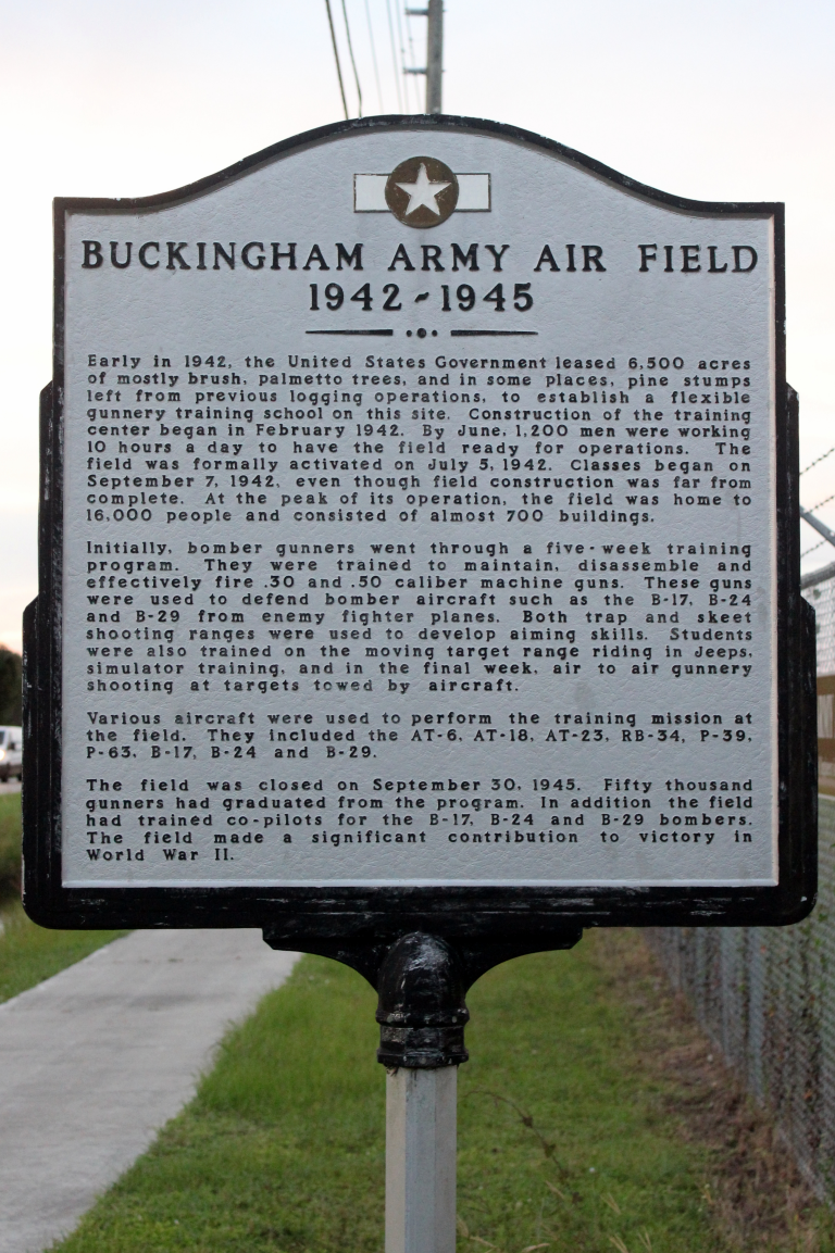
Established in 1942 during World War II, Buckingham Army Airfield was the first—and one of the largest—aerial gunnery training bases in the United States. Operated by the U.S. Army Air Forces, it trained over 48,000 airmen, primarily as gunners to defend B-17, B-24, and B-29 bombers. Constructed at a cost of 10 million dollars, the base encompassed 7,000 acres, with a series of canals built to drain the swamp land. At its peak, the base featured six runways, housed over 16,000 men and women, and contained approximately 700 buildings. Although the base was closed on September 30, 1945, remnants of the original airfield still exist as a reminder of its important contribution to American military history.
For a brief time, the barracks of Buckingham Army Airfield were used as classrooms for Edison College, which vacated the site in 1948. In 1968, the Lee County Mosquito Control District (LCMCD) moved its operations from Canal Street in Fort Myers to the former airfield in Lehigh Acres. By then, the six runways and most of the original buildings were gone, and the site had been reduced to approximately 250 acres. One original building from the base remains on the property. The airport is often labeled on aeronautical maps as Lehigh West Airport, and it is operated as a private facility known as FL59 – Buckingham Field Airport by LCMCD.
On July 5, 2002, a historical marker was erected to commemorate the airfield’s 60th anniversary, honoring the many military and civilian personnel who served there. Today, Buckingham Army Airfield is remembered as a key contributor to America’s success in WWII and an enduring part of Lee County’s history.
Airport (FL59) General Notices
Pilot Information
The Buckingham Airfield (FL59) is owned and operated by the Lee County Mosquito District. Use of the airfield is restricted unless authorized by the District.
Aircraft Traffic Patterns – Standard Flight Patterns are to be flown at 800 feet agl at Buckingham Airport.
Unicom Frequency CTAF – All airplanes and helicopters operating at FL59 are expected to use 122.9 to announce their intentions.
LCMCD Helicopter Operations
Effective June 1st through September 15th expect heavy helicopter traffic leaving the LCMCD ramp going West bound from 7:30 a.m. to 9:30 a.m. and returning to LCMCD ramp between 1:30 p.m. to 4:00 p.m.
If you have questions regarding FL59 please contact the District at the following email address: airportmanager@lcmcd.org
Heliports
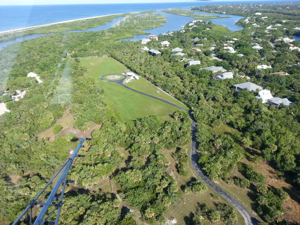
Lee County Mosquito Control District has eight heliports including Woodstock Airport (FL86). Heliports are used to provide a safe location to refuel and reload materials for aerial larviciding activities. Heliports are located in areas close to active mosquito breeding habitat to help reduce costs of helicopter operation by minimizing ferrying time.
 Map of Heliport Locations
The interactive map below contains eight map pins, each pin identifies the location of an LCMCD heliport. The map is centered on the city of Fort Myers, FL.
The following is a description of the pins going from top to bottom on the map:
The first pin identifies the Boca Grande Heliport, which is located at 100 East Railroad Avenue, Boca Grande, FL 33921.
The second pin identifies Harbor Drive Heliport, which is located at 14451 Harbor Drive, Bokeelia, FL 33922.
The third pin identifies Pine Island Center Heliport, which is located at 5341 Doug Taylor Circle St., James City, FL 33956.
The fourth pin identifies St. James City Heliport, which is located at 3501 York Road St., James City, FL 33956.
The fifth pin identifies Bowman’s Beach Heliport, which is located at Bowman’s Beach Road, Sanibel, FL 33957.
The sixth pin identifies Winkler Road Heliport, which is located at 17981 Winkler Road, Fort Myers, FL 33908.
The seventh pin identifies Williams Road Heliport, which is located at 4261 Williams Road, Estero, FL 33928.
The eighth pin identifies Woodstock Airport FL86 , which is located at 4370 Woodstock Rd., St. James City, FL 33956.